High Street, Rhyl
Introduction
The photograph on this page of High Street, Rhyl by Jaggery as part of the Geograph project.
The Geograph project started in 2005 with the aim of publishing, organising and preserving representative images for every square kilometre of Great Britain, Ireland and the Isle of Man.

There are currently over 7.5m images from over 14,400 individuals and you can help contribute to the project by visiting https://www.geograph.org.uk
High Street, Rhyl
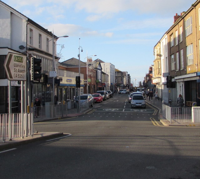
Image: © Jaggery Taken: 1 Nov 2017
The southeast end of High Street viewed across the A548. The sign on the left points past the camera to a route to St Asaph (Llanelwy in Welsh)
Images are licensed for reuse under creativecommons.org/licenses/by-sa/2.0
Image Location
Latitude
53.320126
Longitude
-3.489315