St Peter's Church and Dyrham House
Introduction
The photograph on this page of St Peter's Church and Dyrham House by M J Roscoe as part of the Geograph project.
The Geograph project started in 2005 with the aim of publishing, organising and preserving representative images for every square kilometre of Great Britain, Ireland and the Isle of Man.

There are currently over 7.5m images from over 14,400 individuals and you can help contribute to the project by visiting https://www.geograph.org.uk
St Peter's Church and Dyrham House
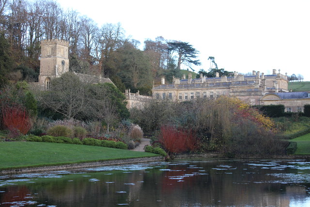
Image: © M J Roscoe Taken: 12 Nov 2017
Parish church and grade I listed Dyrham House with the lower pool in the foreground and to its left part of the Avenue with a variety of garden plants.
Images are licensed for reuse under creativecommons.org/licenses/by-sa/2.0
Image Location


Leaflet Map data © OpenStreetMap
Latitude
51.48038
Longitude
-2.373487