Path from Mary Street towards an electricity substation, Treherbert
Introduction
The photograph on this page of Path from Mary Street towards an electricity substation, Treherbert by Jaggery as part of the Geograph project.
The Geograph project started in 2005 with the aim of publishing, organising and preserving representative images for every square kilometre of Great Britain, Ireland and the Isle of Man.

There are currently over 7.5m images from over 14,400 individuals and you can help contribute to the project by visiting https://www.geograph.org.uk
Path from Mary Street towards an electricity substation, Treherbert
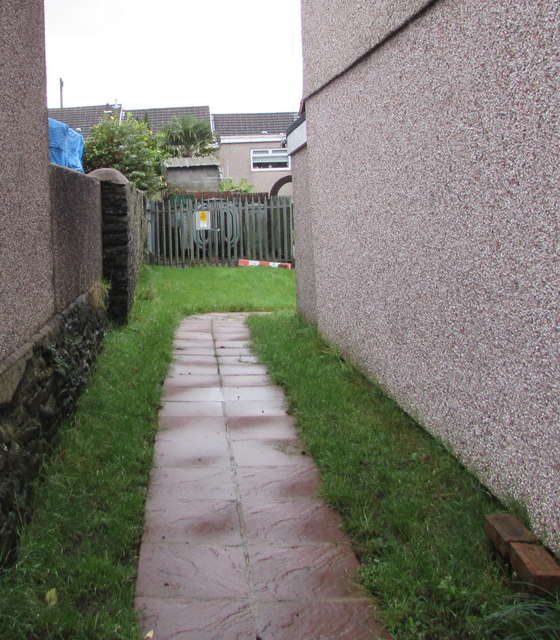
Image: © Jaggery Taken: 9 Nov 2017
The Western Power Distribution electricity substation is set back 20 metres from Mary Street.
Images are licensed for reuse under creativecommons.org/licenses/by-sa/2.0
Image Location
Latitude
51.670989
Longitude
-3.528885