Steep descent, Trebanog Road, Trebanog
Introduction
The photograph on this page of Steep descent, Trebanog Road, Trebanog by Jaggery as part of the Geograph project.
The Geograph project started in 2005 with the aim of publishing, organising and preserving representative images for every square kilometre of Great Britain, Ireland and the Isle of Man.

There are currently over 7.5m images from over 14,400 individuals and you can help contribute to the project by visiting https://www.geograph.org.uk
Steep descent, Trebanog Road, Trebanog
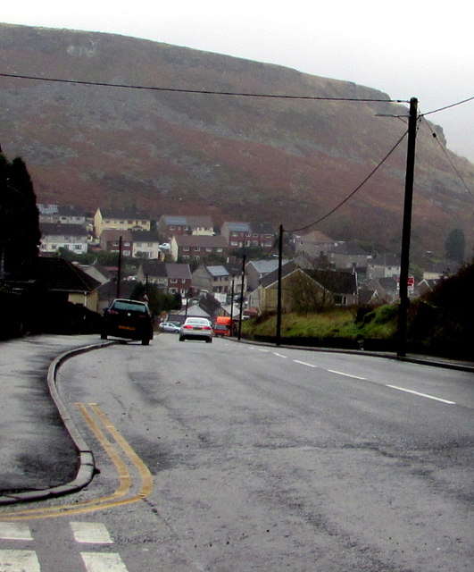
Image: © Jaggery Taken: 16 Nov 2017
The A4233 Trebanog Road viewed from the corner of Olive Terrace. A nearby sign http://www.geograph.org.uk/photo/4098879 shows a 16% (about 1 in 6) gradient.
Images are licensed for reuse under creativecommons.org/licenses/by-sa/2.0
Image Location
Latitude
51.602923
Longitude
-3.421331