Former Corn Exchange
Introduction
The photograph on this page of Former Corn Exchange by Keith Edkins as part of the Geograph project.
The Geograph project started in 2005 with the aim of publishing, organising and preserving representative images for every square kilometre of Great Britain, Ireland and the Isle of Man.

There are currently over 7.5m images from over 14,400 individuals and you can help contribute to the project by visiting https://www.geograph.org.uk
Former Corn Exchange
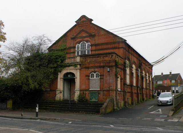
Image: © Keith Edkins Taken: 15 Nov 2017
Little has changed in 5 years since Image was taken, apart from a little more creeper on the walls. Plans for the Town Council to purchase the building for community have recently collapsed.
Images are licensed for reuse under creativecommons.org/licenses/by-sa/2.0
Image Location
Latitude
52.085007
Longitude
0.435631