Approach Cottages, Bridge Approach
Introduction
The photograph on this page of Approach Cottages, Bridge Approach by Keith Edkins as part of the Geograph project.
The Geograph project started in 2005 with the aim of publishing, organising and preserving representative images for every square kilometre of Great Britain, Ireland and the Isle of Man.

There are currently over 7.5m images from over 14,400 individuals and you can help contribute to the project by visiting https://www.geograph.org.uk
Approach Cottages, Bridge Approach
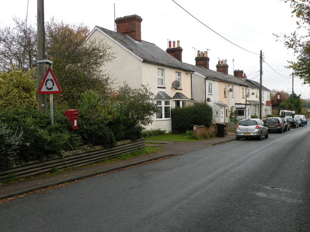
Image: © Keith Edkins Taken: 15 Nov 2017
This terrace is in Withersfield parish but is on the edge of Haverhill some way from Withersfield village itself. The cottages first appear on OS maps in 1903, and at that time they had a railway line at the back and a brick works on the far end. The bridge in question, over the Stour Brook, is called Meldham Bridge on large scale maps. The lamp type post box is CB9 49.
Images are licensed for reuse under creativecommons.org/licenses/by-sa/2.0
Image Location
Latitude
52.093433
Longitude
0.419446