Wraysbury River under the M4
Introduction
The photograph on this page of Wraysbury River under the M4 by Des Blenkinsopp as part of the Geograph project.
The Geograph project started in 2005 with the aim of publishing, organising and preserving representative images for every square kilometre of Great Britain, Ireland and the Isle of Man.

There are currently over 7.5m images from over 14,400 individuals and you can help contribute to the project by visiting https://www.geograph.org.uk
Wraysbury River under the M4
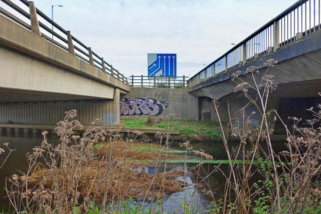
Image: © Des Blenkinsopp Taken: 13 Nov 2017
The riverside walk over Harmondsworth Moor gets a bit bleak for a short way as it goes under the series of concrete bridges on the M4/M25 intersection.
Images are licensed for reuse under creativecommons.org/licenses/by-sa/2.0
Image Location
Latitude
51.494494
Longitude
-0.485864