Withersfield Road
Introduction
The photograph on this page of Withersfield Road by Keith Edkins as part of the Geograph project.
The Geograph project started in 2005 with the aim of publishing, organising and preserving representative images for every square kilometre of Great Britain, Ireland and the Isle of Man.

There are currently over 7.5m images from over 14,400 individuals and you can help contribute to the project by visiting https://www.geograph.org.uk
Withersfield Road
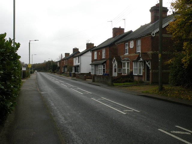
Image: © Keith Edkins Taken: 15 Nov 2017
The nearest house bears the date 1902. Those which follow have name signs Woodbine Villas, Alpha Villas, Hawthorn Villas and Eglantine Villas, with dates 1877-1884.
Images are licensed for reuse under creativecommons.org/licenses/by-sa/2.0
Image Location
Latitude
52.091819
Longitude
0.423593