Saint Elizabeth Avenue
Introduction
The photograph on this page of Saint Elizabeth Avenue by Stephen Craven as part of the Geograph project.
The Geograph project started in 2005 with the aim of publishing, organising and preserving representative images for every square kilometre of Great Britain, Ireland and the Isle of Man.

There are currently over 7.5m images from over 14,400 individuals and you can help contribute to the project by visiting https://www.geograph.org.uk
Saint Elizabeth Avenue
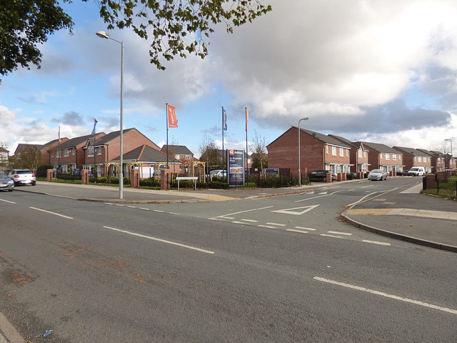
Image: © Stephen Craven Taken: 4 Nov 2017
A recent Bellway housing development off Harris Drive, presumably named after the nearby Catholic church.
Images are licensed for reuse under creativecommons.org/licenses/by-sa/2.0
Image Location
Latitude
53.464471
Longitude
-2.989282