100 ? 102, Cheriton Road
Introduction
The photograph on this page of 100 ? 102, Cheriton Road by John Baker as part of the Geograph project.
The Geograph project started in 2005 with the aim of publishing, organising and preserving representative images for every square kilometre of Great Britain, Ireland and the Isle of Man.

There are currently over 7.5m images from over 14,400 individuals and you can help contribute to the project by visiting https://www.geograph.org.uk
100 ? 102, Cheriton Road
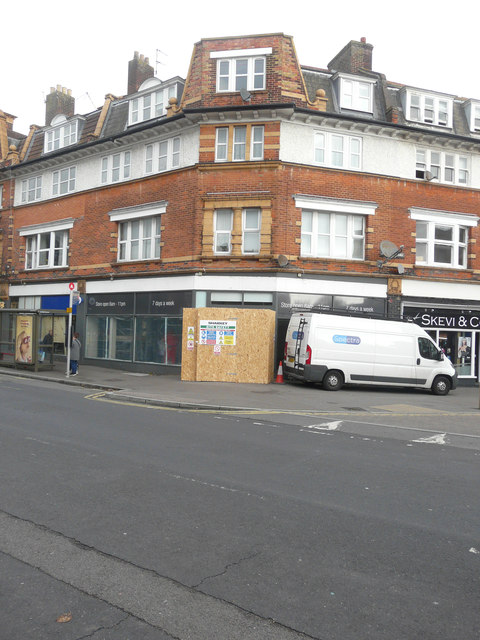
Image: © John Baker Taken: 25 Oct 2017
Planning permission was approved, with conditions, by Folkestone and Hythe District Council under application number Y17/0725/SH for the “display of 1 non illuminated fascia sign, 3 internally illuminated fascia signs upon the front elevation and 1 non illuminated wall mounted flat aluminium panel sign upon the rear elevation”. This co-operative store is undergoing refurbishment, internally and externally.
Images are licensed for reuse under creativecommons.org/licenses/by-sa/2.0
Image Location
Latitude
51.082237
Longitude
1.171523