Bookham Farmhouse
Introduction
The photograph on this page of Bookham Farmhouse by Mike Searle as part of the Geograph project.
The Geograph project started in 2005 with the aim of publishing, organising and preserving representative images for every square kilometre of Great Britain, Ireland and the Isle of Man.

There are currently over 7.5m images from over 14,400 individuals and you can help contribute to the project by visiting https://www.geograph.org.uk
Bookham Farmhouse
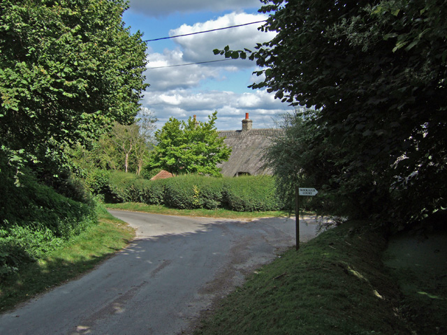
Image: © Mike Searle Taken: 18 Sep 2007
The thatched roof of Bookham farmhouse is all that is visible from the public highway.
Images are licensed for reuse under creativecommons.org/licenses/by-sa/2.0
Image Location


Leaflet Map data © OpenStreetMap
Latitude
50.836399
Longitude
-2.418307