Wales Coast Path
Introduction
The photograph on this page of Wales Coast Path by Robin Drayton as part of the Geograph project.
The Geograph project started in 2005 with the aim of publishing, organising and preserving representative images for every square kilometre of Great Britain, Ireland and the Isle of Man.

There are currently over 7.5m images from over 14,400 individuals and you can help contribute to the project by visiting https://www.geograph.org.uk
Wales Coast Path
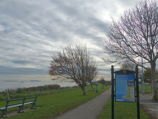
Image: © Robin Drayton Taken: 13 Nov 2017
Looking to the south from Penarth. With the Islands of Flat holm and Steep holm in the Bristol Channel.
Images are licensed for reuse under creativecommons.org/licenses/by-sa/2.0
Image Location
Latitude
51.425487
Longitude
-3.171441