Blaengarw and Pontycymer
Introduction
The photograph on this page of Blaengarw and Pontycymer by Alan Hughes as part of the Geograph project.
The Geograph project started in 2005 with the aim of publishing, organising and preserving representative images for every square kilometre of Great Britain, Ireland and the Isle of Man.

There are currently over 7.5m images from over 14,400 individuals and you can help contribute to the project by visiting https://www.geograph.org.uk
Blaengarw and Pontycymer
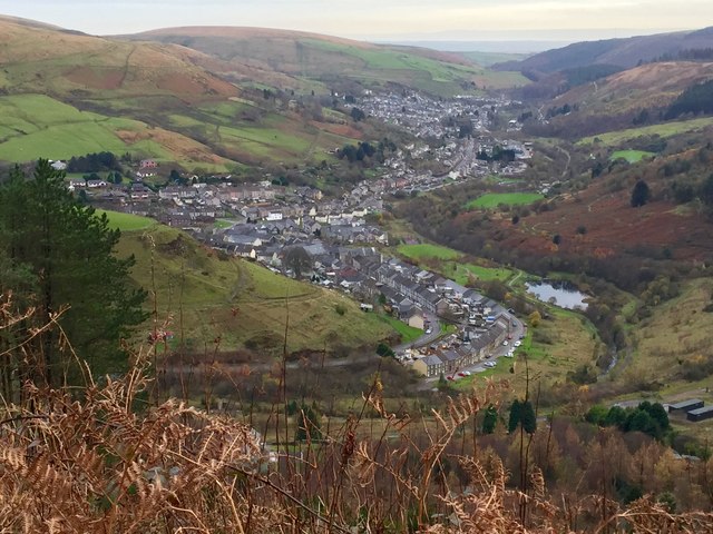
Image: © Alan Hughes Taken: 13 Nov 2017
View of Blaengarw and Pontycymer from the footpath at the top of the valley. The villages twist and turn as they follow the route which the Garw takes as it winds its way down the valley. In the far distance are the Bristol Channel and England beyond. The really sharp-eyed might like to look for the tall chimney at Aberthaw.
Images are licensed for reuse under creativecommons.org/licenses/by-sa/2.0
Image Location
Latitude
51.61002
Longitude
-3.583448