Gomersal Methodist Church
Introduction
The photograph on this page of Gomersal Methodist Church by Stephen Armstrong as part of the Geograph project.
The Geograph project started in 2005 with the aim of publishing, organising and preserving representative images for every square kilometre of Great Britain, Ireland and the Isle of Man.

There are currently over 7.5m images from over 14,400 individuals and you can help contribute to the project by visiting https://www.geograph.org.uk
Gomersal Methodist Church
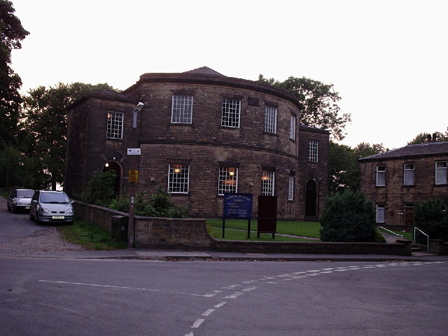
Image: © Stephen Armstrong Taken: 4 Sep 2005
At the top of West Lane. A fine looking Grade 2 Listed building, built in 1827-8, and known locally as the Pork Pie Chapel.
Images are licensed for reuse under creativecommons.org/licenses/by-sa/2.0
Image Location


Leaflet Map data © OpenStreetMap
Latitude
53.733593
Longitude
-1.690728