Winford village hall
Introduction
The photograph on this page of Winford village hall by Neil Owen as part of the Geograph project.
The Geograph project started in 2005 with the aim of publishing, organising and preserving representative images for every square kilometre of Great Britain, Ireland and the Isle of Man.

There are currently over 7.5m images from over 14,400 individuals and you can help contribute to the project by visiting https://www.geograph.org.uk
Winford village hall
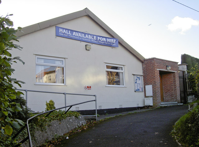
Image: © Neil Owen Taken: 12 Nov 2017
The focal place of the village has stood here since 1926 and was soon registered as a charity. In the original constitution the use of the property stated that the hall should be used for the most worthy aims of “physical and mental training and recreational, social, moral and intellectual development, through the medium of reading and recreation rooms, a library, lectures, classes, recreation and entertainment”. It has had several extensions and improvements in recent years.
Images are licensed for reuse under creativecommons.org/licenses/by-sa/2.0
Image Location
Latitude
51.383244
Longitude
-2.663824