House on the bend, The Village, Farnley Tyas
Introduction
The photograph on this page of House on the bend, The Village, Farnley Tyas by Humphrey Bolton as part of the Geograph project.
The Geograph project started in 2005 with the aim of publishing, organising and preserving representative images for every square kilometre of Great Britain, Ireland and the Isle of Man.

There are currently over 7.5m images from over 14,400 individuals and you can help contribute to the project by visiting https://www.geograph.org.uk
House on the bend, The Village, Farnley Tyas
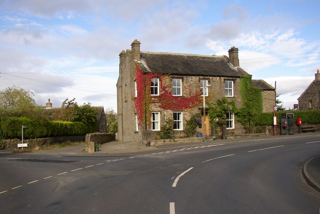
Image: © Humphrey Bolton Taken: 14 Sep 2007
This is shown with black infill on my 6” map. Was it perhaps the parish council offices, or the post office?
Images are licensed for reuse under creativecommons.org/licenses/by-sa/2.0
Image Location


Leaflet Map data © OpenStreetMap
Latitude
53.6106
Longitude
-1.753596