Vicarage Lane, Bunbury
Introduction
The photograph on this page of Vicarage Lane, Bunbury by Stephen McKay as part of the Geograph project.
The Geograph project started in 2005 with the aim of publishing, organising and preserving representative images for every square kilometre of Great Britain, Ireland and the Isle of Man.

There are currently over 7.5m images from over 14,400 individuals and you can help contribute to the project by visiting https://www.geograph.org.uk
Vicarage Lane, Bunbury
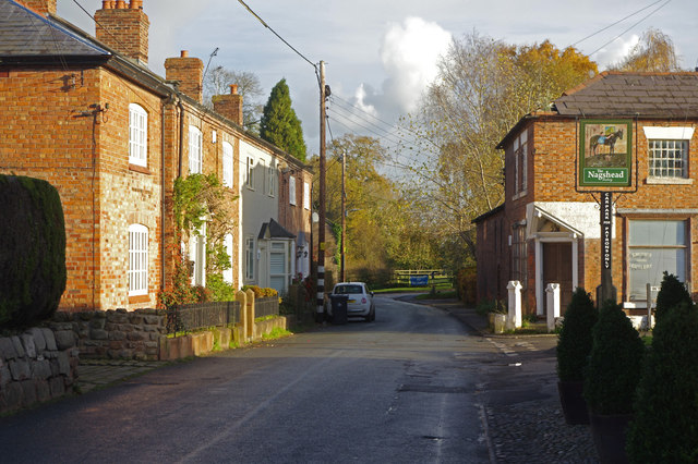
Image: © Stephen McKay Taken: 10 Nov 2017
Vicarage Lane leads from Lower to Higher Bunbury. Here, the sign for the Nag's Head - one of three pubs in the village - is on the right.
Images are licensed for reuse under creativecommons.org/licenses/by-sa/2.0
Image Location
Latitude
53.116317
Longitude
-2.650924