View Road, Lyme Regis
Introduction
The photograph on this page of View Road, Lyme Regis by Richard Rogerson as part of the Geograph project.
The Geograph project started in 2005 with the aim of publishing, organising and preserving representative images for every square kilometre of Great Britain, Ireland and the Isle of Man.

There are currently over 7.5m images from over 14,400 individuals and you can help contribute to the project by visiting https://www.geograph.org.uk
View Road, Lyme Regis
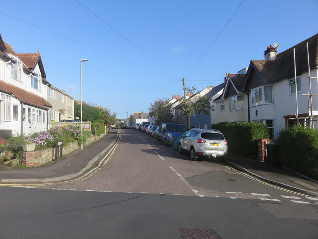
Image: © Richard Rogerson Taken: 2 Oct 2017
The properties on the east side of the road have views across the bay to Golden Cap, the highest point on the south west coastal path.
Images are licensed for reuse under creativecommons.org/licenses/by-sa/2.0
Image Location
Latitude
50.726903
Longitude
-2.937862