Low Mill, Grassington
Introduction
The photograph on this page of Low Mill, Grassington by Gordon Hatton as part of the Geograph project.
The Geograph project started in 2005 with the aim of publishing, organising and preserving representative images for every square kilometre of Great Britain, Ireland and the Isle of Man.

There are currently over 7.5m images from over 14,400 individuals and you can help contribute to the project by visiting https://www.geograph.org.uk
Low Mill, Grassington
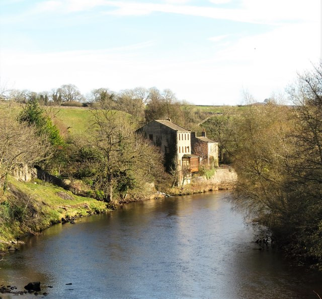
Image: © Gordon Hatton Taken: 11 Nov 2017
Old OS 6" maps of the late 19thC show this as a worsted mill, whereas Linton Mill, a few hundred metres upstream was a cotton mill. Both mill complexes have now been converted into dwellings.
Images are licensed for reuse under creativecommons.org/licenses/by-sa/2.0
Image Location
Latitude
54.064922
Longitude
-1.991867