Pipeline route north of Back Street
Introduction
The photograph on this page of Pipeline route north of Back Street by Robin Webster as part of the Geograph project.
The Geograph project started in 2005 with the aim of publishing, organising and preserving representative images for every square kilometre of Great Britain, Ireland and the Isle of Man.

There are currently over 7.5m images from over 14,400 individuals and you can help contribute to the project by visiting https://www.geograph.org.uk
Pipeline route north of Back Street
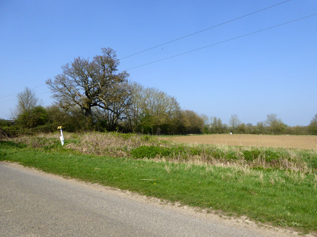
Image: © Robin Webster Taken: 8 Apr 2017
The information plate on the post by the road gives details of the pipeline, but a dead give-away that this was part of the government GPSS system is the white object in the far hedgerow. This is a white stile-like structure much used to mark the pipeline routes. This route was laid in to supply East Anglian air force bases with fuel. For a detail of the marker plate see Image, and for a closer view of a 'stile' see Image, although they are more usually concrete.
Images are licensed for reuse under creativecommons.org/licenses/by-sa/2.0
Image Location
Latitude
52.19648
Longitude
0.55206