Downland, Bincombe
Introduction
The photograph on this page of Downland, Bincombe by Andrew Smith as part of the Geograph project.
The Geograph project started in 2005 with the aim of publishing, organising and preserving representative images for every square kilometre of Great Britain, Ireland and the Isle of Man.

There are currently over 7.5m images from over 14,400 individuals and you can help contribute to the project by visiting https://www.geograph.org.uk
Downland, Bincombe
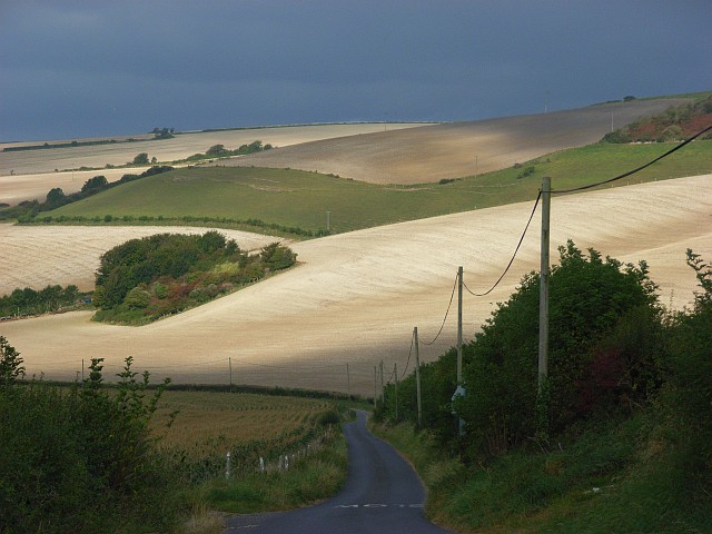
Image: © Andrew Smith Taken: 16 Sep 2007
The sun breaks through to reveal a dramatic scene on the descent from Bincombe towards Lower Bincombe and Upwey. The chalky soil is very much in evidence after ploughing.
Images are licensed for reuse under creativecommons.org/licenses/by-sa/2.0
Image Location


Leaflet Map data © OpenStreetMap
Latitude
50.66736
Longitude
-2.459818