Findern Methodist Chapel
Introduction
The photograph on this page of Findern Methodist Chapel by Alan Murray-Rust as part of the Geograph project.
The Geograph project started in 2005 with the aim of publishing, organising and preserving representative images for every square kilometre of Great Britain, Ireland and the Isle of Man.

There are currently over 7.5m images from over 14,400 individuals and you can help contribute to the project by visiting https://www.geograph.org.uk
Findern Methodist Chapel
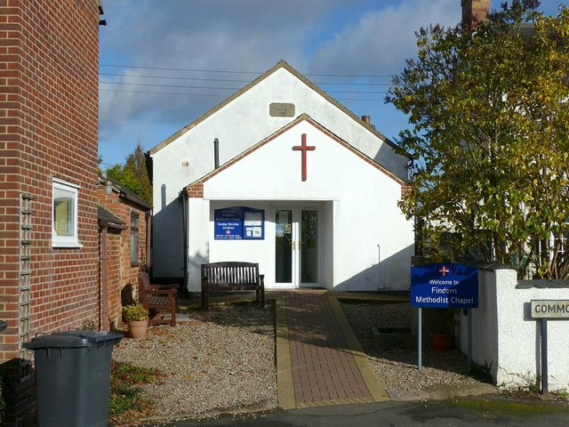
Image: © Alan Murray-Rust Taken: 5 Nov 2017
Chapel of 1835 http://www.geograph.org.uk/photo/5595322 with 21st century extension. Note the continuing use of the word 'Chapel' whereas most congregations now use 'Church' even when the building can be thought of as a chapel.
Images are licensed for reuse under creativecommons.org/licenses/by-sa/2.0
Image Location
Latitude
52.870462
Longitude
-1.54165