Browns Lane
Introduction
The photograph on this page of Browns Lane by David Stowell as part of the Geograph project.
The Geograph project started in 2005 with the aim of publishing, organising and preserving representative images for every square kilometre of Great Britain, Ireland and the Isle of Man.

There are currently over 7.5m images from over 14,400 individuals and you can help contribute to the project by visiting https://www.geograph.org.uk
Browns Lane
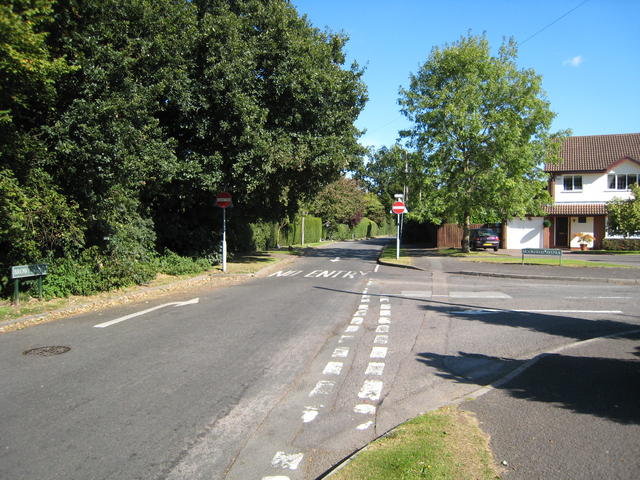
Image: © David Stowell Taken: 17 Sep 2007
Apart from the last few metres at each end, Browns Lane is one way from Lady Byron Lane towards Widney Road.
Images are licensed for reuse under creativecommons.org/licenses/by-sa/2.0
Image Location
Latitude
52.38629
Longitude
-1.761931