Almost covered up
Introduction
The photograph on this page of Almost covered up by Neil Owen as part of the Geograph project.
The Geograph project started in 2005 with the aim of publishing, organising and preserving representative images for every square kilometre of Great Britain, Ireland and the Isle of Man.

There are currently over 7.5m images from over 14,400 individuals and you can help contribute to the project by visiting https://www.geograph.org.uk
Almost covered up
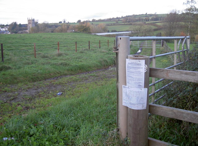
Image: © Neil Owen Taken: 8 Nov 2017
The Monarch's Way path crosses the B3130 and goes across farmland to Winford here. The sign is almost covered up by some legal notices. Adding to the welcome was the fact that the large gate that marks this farm track was swung open and chained to the kissing gate that should have been used!
Images are licensed for reuse under creativecommons.org/licenses/by-sa/2.0
Image Location
Latitude
51.379954
Longitude
-2.65731