Information board on Kings Way
Introduction
The photograph on this page of Information board on Kings Way by Chris Thomas-Atkin as part of the Geograph project.
The Geograph project started in 2005 with the aim of publishing, organising and preserving representative images for every square kilometre of Great Britain, Ireland and the Isle of Man.

There are currently over 7.5m images from over 14,400 individuals and you can help contribute to the project by visiting https://www.geograph.org.uk
Information board on Kings Way
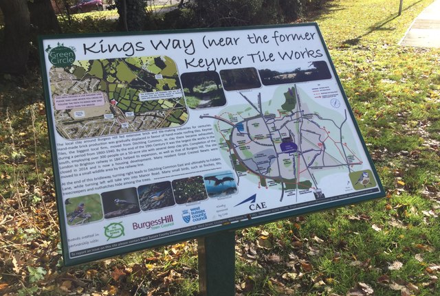
Image: © Chris Thomas-Atkin Taken: 5 Nov 2017
A close look at the Green Circle Network information board on Kings Way in Burgess Hill.
Images are licensed for reuse under creativecommons.org/licenses/by-sa/2.0
Image Location
Latitude
50.954631
Longitude
-0.112637