Field by the Colne Valley Way
Introduction
The photograph on this page of Field by the Colne Valley Way by Des Blenkinsopp as part of the Geograph project.
The Geograph project started in 2005 with the aim of publishing, organising and preserving representative images for every square kilometre of Great Britain, Ireland and the Isle of Man.

There are currently over 7.5m images from over 14,400 individuals and you can help contribute to the project by visiting https://www.geograph.org.uk
Field by the Colne Valley Way
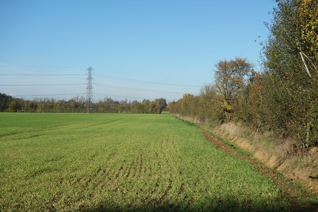
Image: © Des Blenkinsopp Taken: 6 Nov 2017
A glance at the map shows that TQ0478 is almost entirely taken up with the M4/M25 interchange. The Colne Valley Way follows a tree lined route alongside one of the slip roads. Continuous noise and not much to see through the trees on either side. A rare glimpse through the hedge shows that there is still a bit of farming going on in the midst of it all.
Images are licensed for reuse under creativecommons.org/licenses/by-sa/2.0
Image Location
Latitude
51.497214
Longitude
-0.50162