Snowdonia National Park boundary
Introduction
The photograph on this page of Snowdonia National Park boundary by Gerald England as part of the Geograph project.
The Geograph project started in 2005 with the aim of publishing, organising and preserving representative images for every square kilometre of Great Britain, Ireland and the Isle of Man.

There are currently over 7.5m images from over 14,400 individuals and you can help contribute to the project by visiting https://www.geograph.org.uk
Snowdonia National Park boundary
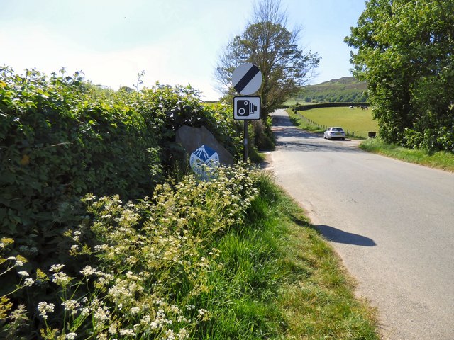
Image: © Gerald England Taken: 26 May 2017
Entering the Snowdonia National Park on Sychnant Pass Road. The sign Image is almost hidden in the undergrowth. The adjacent road-signs indicates the end of a 30 mph zone and return to the National Speed Limit but warns that speed cameras are in force on the road.
Images are licensed for reuse under creativecommons.org/licenses/by-sa/2.0
Image Location
Latitude
53.27882
Longitude
-3.845904