Houses Down One Side
Introduction
The photograph on this page of Houses Down One Side by Des Blenkinsopp as part of the Geograph project.
The Geograph project started in 2005 with the aim of publishing, organising and preserving representative images for every square kilometre of Great Britain, Ireland and the Isle of Man.

There are currently over 7.5m images from over 14,400 individuals and you can help contribute to the project by visiting https://www.geograph.org.uk
Houses Down One Side
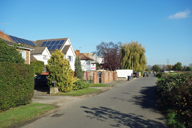
Image: © Des Blenkinsopp Taken: 6 Nov 2017
Showing the mixed Town & Country character of this area just beyond the edge of fully built up London. Suburban housing on one side of the road and farmland on the other.
Images are licensed for reuse under creativecommons.org/licenses/by-sa/2.0
Image Location
Latitude
51.498902
Longitude
-0.50704