Wooded scarp above Pentre
Introduction
The photograph on this page of Wooded scarp above Pentre by Philip Ingram as part of the Geograph project.
The Geograph project started in 2005 with the aim of publishing, organising and preserving representative images for every square kilometre of Great Britain, Ireland and the Isle of Man.

There are currently over 7.5m images from over 14,400 individuals and you can help contribute to the project by visiting https://www.geograph.org.uk
Wooded scarp above Pentre
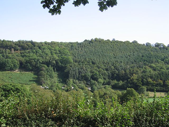
Image: © Philip Ingram Taken: 11 Sep 2007
The steepness of the scarp will have made it of low value for farming so it has been left as woodland.
Images are licensed for reuse under creativecommons.org/licenses/by-sa/2.0
Image Location
Latitude
52.829475
Longitude
-3.175465