The last field in Conwy
Introduction
The photograph on this page of The last field in Conwy by Gerald England as part of the Geograph project.
The Geograph project started in 2005 with the aim of publishing, organising and preserving representative images for every square kilometre of Great Britain, Ireland and the Isle of Man.

There are currently over 7.5m images from over 14,400 individuals and you can help contribute to the project by visiting https://www.geograph.org.uk
The last field in Conwy
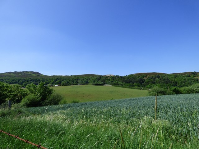
Image: © Gerald England Taken: 26 May 2017
This field on the edge of Conwy is the last undeveloped plot of land before the boundary with the Snowdonia National Park. It is earmarked for possible future housing.
Images are licensed for reuse under creativecommons.org/licenses/by-sa/2.0
Image Location
Latitude
53.278461
Longitude
-3.845888