Dollis Brook
Introduction
The photograph on this page of Dollis Brook by Martin Addison as part of the Geograph project.
The Geograph project started in 2005 with the aim of publishing, organising and preserving representative images for every square kilometre of Great Britain, Ireland and the Isle of Man.

There are currently over 7.5m images from over 14,400 individuals and you can help contribute to the project by visiting https://www.geograph.org.uk
Dollis Brook
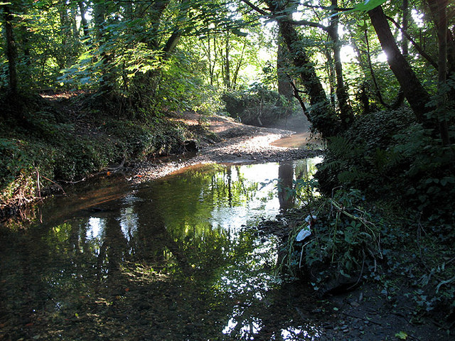
Image: © Martin Addison Taken: 1 Aug 2007
Sunlight streams through the trees in this early morning view of the brook.
Images are licensed for reuse under creativecommons.org/licenses/by-sa/2.0
Image Location
Latitude
51.60955
Longitude
-0.196517