Open Ground Behind Brent Way
Introduction
The photograph on this page of Open Ground Behind Brent Way by Martin Addison as part of the Geograph project.
The Geograph project started in 2005 with the aim of publishing, organising and preserving representative images for every square kilometre of Great Britain, Ireland and the Isle of Man.

There are currently over 7.5m images from over 14,400 individuals and you can help contribute to the project by visiting https://www.geograph.org.uk
Open Ground Behind Brent Way
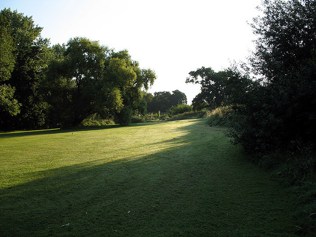
Image: © Martin Addison Taken: 1 Aug 2007
Taken from the footpath between Nether Street and Frith Lane, the ground slopes sharply down towards Dollis Brook on the left of the photo. There is a heavy dew on the grass and Wood Pigeons can be seen searching for early morning snacks.
Images are licensed for reuse under creativecommons.org/licenses/by-sa/2.0
Image Location
Latitude
51.609016
Longitude
-0.196827