Useless road sign
Introduction
The photograph on this page of Useless road sign by Oliver Dixon as part of the Geograph project.
The Geograph project started in 2005 with the aim of publishing, organising and preserving representative images for every square kilometre of Great Britain, Ireland and the Isle of Man.

There are currently over 7.5m images from over 14,400 individuals and you can help contribute to the project by visiting https://www.geograph.org.uk
Useless road sign
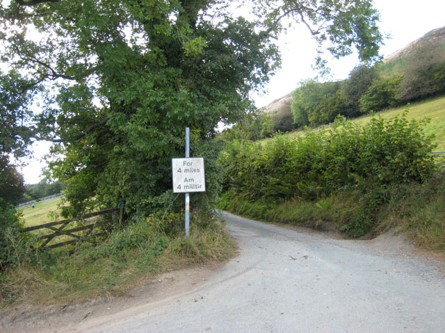
Image: © Oliver Dixon Taken: 15 Sep 2007
How unhelpful can you get? what is it we need to know about the next four miles. Could be a vital bit of information - this was formerly a motorable road (shown yellow on the OS 1983 Landranger map) between Abertridwr and Penygarnedd. It is now only fit for 4WD vehicles.
Images are licensed for reuse under creativecommons.org/licenses/by-sa/2.0
Image Location
Latitude
52.798519
Longitude
-3.339566