The Cleveland Way near Frank Cliff
Introduction
The photograph on this page of The Cleveland Way near Frank Cliff by Phil Catterall as part of the Geograph project.
The Geograph project started in 2005 with the aim of publishing, organising and preserving representative images for every square kilometre of Great Britain, Ireland and the Isle of Man.

There are currently over 7.5m images from over 14,400 individuals and you can help contribute to the project by visiting https://www.geograph.org.uk
The Cleveland Way near Frank Cliff
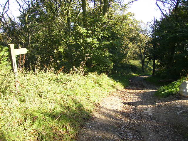
Image: © Phil Catterall Taken: 18 Sep 2007
The long distance footpath is not where the map shows it at this point having been moved inland by about 60 metres in recent years due to coastal erosion.
Images are licensed for reuse under creativecommons.org/licenses/by-sa/2.0
Image Location
Latitude
54.259723
Longitude
-0.378382