East side of the Hunters Moon Inn, Llangattock Lingoed
Introduction
The photograph on this page of East side of the Hunters Moon Inn, Llangattock Lingoed by Jaggery as part of the Geograph project.
The Geograph project started in 2005 with the aim of publishing, organising and preserving representative images for every square kilometre of Great Britain, Ireland and the Isle of Man.

There are currently over 7.5m images from over 14,400 individuals and you can help contribute to the project by visiting https://www.geograph.org.uk
East side of the Hunters Moon Inn, Llangattock Lingoed
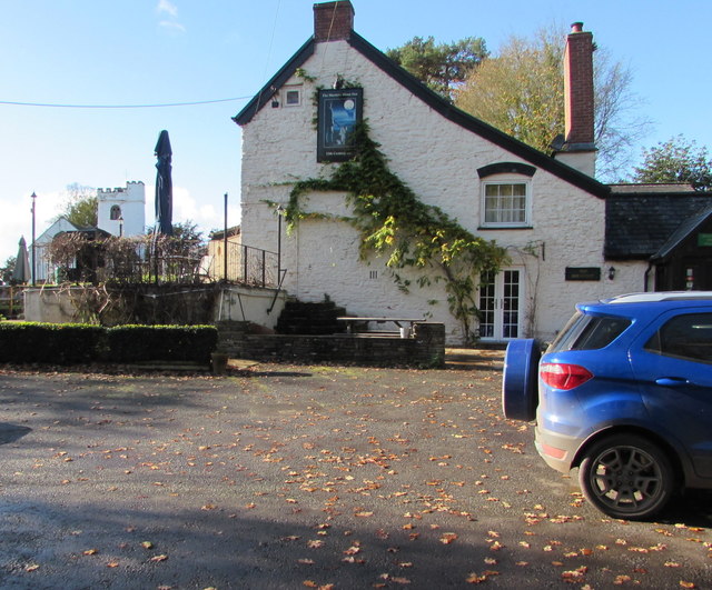
Image: © Jaggery Taken: 5 Nov 2017
The name sign http://www.geograph.org.uk/photo/5591912 on the wall shows 13th century inn. The tower of the white village church is in the background.
Images are licensed for reuse under creativecommons.org/licenses/by-sa/2.0
Image Location
Latitude
51.875892
Longitude
-2.928172