The Salterns
Introduction
The photograph on this page of The Salterns by Dennis Turner as part of the Geograph project.
The Geograph project started in 2005 with the aim of publishing, organising and preserving representative images for every square kilometre of Great Britain, Ireland and the Isle of Man.

There are currently over 7.5m images from over 14,400 individuals and you can help contribute to the project by visiting https://www.geograph.org.uk
The Salterns
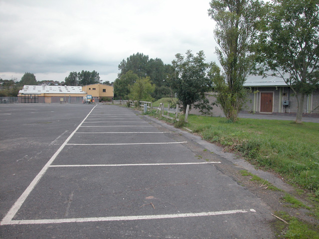
Image: © Dennis Turner Taken: 18 Sep 2005
Also marked on maps as The Marshes, this low lying land due west of Tenby town centre houses a park and ride car park and some light industrial units.
Images are licensed for reuse under creativecommons.org/licenses/by-sa/2.0
Image Location


Leaflet Map data © OpenStreetMap
Latitude
51.670169
Longitude
-4.710002