Public footpath up from Darran Road
Introduction
The photograph on this page of Public footpath up from Darran Road by M J Roscoe as part of the Geograph project.
The Geograph project started in 2005 with the aim of publishing, organising and preserving representative images for every square kilometre of Great Britain, Ireland and the Isle of Man.

There are currently over 7.5m images from over 14,400 individuals and you can help contribute to the project by visiting https://www.geograph.org.uk
Public footpath up from Darran Road
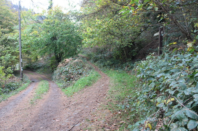
Image: © M J Roscoe Taken: 2 Nov 2017
The path, part of the Raven Walk, ascends the hillside to Pegwn-y-Bwlch, the road to the left goes to Hansons Lodge Image
Images are licensed for reuse under creativecommons.org/licenses/by-sa/2.0
Image Location


Leaflet Map data © OpenStreetMap
Latitude
51.624948
Longitude
-3.104196