A2300 near Burgess Hill
Introduction
The photograph on this page of A2300 near Burgess Hill by Chris Thomas-Atkin as part of the Geograph project.
The Geograph project started in 2005 with the aim of publishing, organising and preserving representative images for every square kilometre of Great Britain, Ireland and the Isle of Man.

There are currently over 7.5m images from over 14,400 individuals and you can help contribute to the project by visiting https://www.geograph.org.uk
A2300 near Burgess Hill
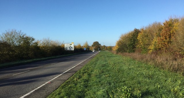
Image: © Chris Thomas-Atkin Taken: 5 Nov 2017
Looking along the A2300 towards the Roundabout at the junction with the Cuckfield Road. The wide verge to the right is earmarked for making the road a dual-carriage way as part of the development of the Town.
Images are licensed for reuse under creativecommons.org/licenses/by-sa/2.0
Image Location
Latitude
50.969841
Longitude
-0.169847