Seabank Road entrance to Rhyl Bowling Club
Introduction
The photograph on this page of Seabank Road entrance to Rhyl Bowling Club by Jaggery as part of the Geograph project.
The Geograph project started in 2005 with the aim of publishing, organising and preserving representative images for every square kilometre of Great Britain, Ireland and the Isle of Man.

There are currently over 7.5m images from over 14,400 individuals and you can help contribute to the project by visiting https://www.geograph.org.uk
Seabank Road entrance to Rhyl Bowling Club
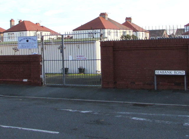
Image: © Jaggery Taken: 1 Nov 2017
Near the corner of Westbourne Avenue. The notice http://www.geograph.org.uk/photo/5591042 on the left shows that new members and visitors are welcome. Beginners instruction given.
Images are licensed for reuse under creativecommons.org/licenses/by-sa/2.0
Image Location
Latitude
53.313173
Longitude
-3.49898