Pentre Farm on the Glyndŵr's Way
Introduction
The photograph on this page of Pentre Farm on the Glyndŵr's Way by Oliver Dixon as part of the Geograph project.
The Geograph project started in 2005 with the aim of publishing, organising and preserving representative images for every square kilometre of Great Britain, Ireland and the Isle of Man.

There are currently over 7.5m images from over 14,400 individuals and you can help contribute to the project by visiting https://www.geograph.org.uk
Pentre Farm on the Glyndŵr's Way
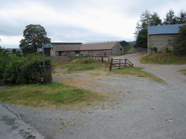
Image: © Oliver Dixon Taken: 14 Sep 2007
Pentre Farm, near Dolanog, stands on Glyndŵr's Way (sign in foreground). Glyndŵr's Way http://www.nationaltrail.co.uk/GlyndwrsWay/ is a new National Trail, opened in the year 2000, which runs from Knighton to Welshpool on a dog-leg course via Machynlleth. It is so named after the Welsh folk hero, Owain Glyndŵr; the path takes in some of the finest scenery in mid-Wales.
Images are licensed for reuse under creativecommons.org/licenses/by-sa/2.0
Image Location


Leaflet Map data © OpenStreetMap
Latitude
52.726875
Longitude
-3.401044