Rendall Doocot and Wide Firth
Introduction
The photograph on this page of Rendall Doocot and Wide Firth by David Wyatt as part of the Geograph project.
The Geograph project started in 2005 with the aim of publishing, organising and preserving representative images for every square kilometre of Great Britain, Ireland and the Isle of Man.

There are currently over 7.5m images from over 14,400 individuals and you can help contribute to the project by visiting https://www.geograph.org.uk
Rendall Doocot and Wide Firth
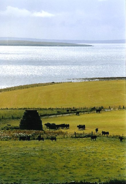
Image: © David Wyatt Taken: Unknown
Seen from the top of the hill, at the edge of the square looking down into HY4220, the dovecote stands next to Wide Firth with Shapinsay beyond.
Images are licensed for reuse under creativecommons.org/licenses/by-sa/2.0
Image Location
Latitude
59.067425
Longitude
-3.021967