Babel Chapel, Groesfaen
Introduction
The photograph on this page of Babel Chapel, Groesfaen by John Lord as part of the Geograph project.
The Geograph project started in 2005 with the aim of publishing, organising and preserving representative images for every square kilometre of Great Britain, Ireland and the Isle of Man.

There are currently over 7.5m images from over 14,400 individuals and you can help contribute to the project by visiting https://www.geograph.org.uk
Babel Chapel, Groesfaen
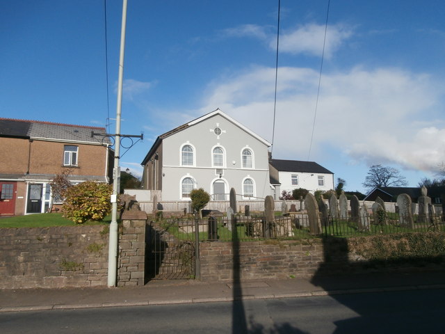
Image: © John Lord Taken: 4 Nov 2017
Babel appears to be the name by which the chapel is currently known, e.g. on the bus-stop near it, and the bus time-table. This surprising name for a place of worship (in the Book of Genesis the tower of Babel came under God's judgment as expressing man's rebellion against God) is a corruption of the Welsh word Babell, meaning a tent, presumably a reference to the Tabernacle, Israel's place of worship. Babell was originally a Welsh Calvinistic Methodist chapel, but is now used by the Plymouth Brethren Christian Church.
Images are licensed for reuse under creativecommons.org/licenses/by-sa/2.0
Image Location
Latitude
51.520313
Longitude
-3.342798