The Square, junction of Ock Street and Bath Street, Abingdon
Introduction
The photograph on this page of The Square, junction of Ock Street and Bath Street, Abingdon by Christopher Hilton as part of the Geograph project.
The Geograph project started in 2005 with the aim of publishing, organising and preserving representative images for every square kilometre of Great Britain, Ireland and the Isle of Man.

There are currently over 7.5m images from over 14,400 individuals and you can help contribute to the project by visiting https://www.geograph.org.uk
The Square, junction of Ock Street and Bath Street, Abingdon
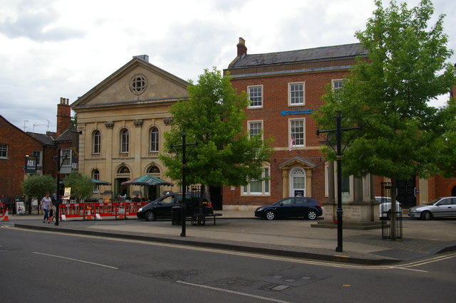
Image: © Christopher Hilton Taken: 28 May 2017
In front of the bank can just be made out Abingdon's war memorial. The former chapel to the left of the bank is now a restaurant.
Images are licensed for reuse under creativecommons.org/licenses/by-sa/2.0
Image Location
Latitude
51.670313
Longitude
-1.284317