Lower Bruckland Nature Reserve
Introduction
The photograph on this page of Lower Bruckland Nature Reserve by Nigel Mykura as part of the Geograph project.
The Geograph project started in 2005 with the aim of publishing, organising and preserving representative images for every square kilometre of Great Britain, Ireland and the Isle of Man.

There are currently over 7.5m images from over 14,400 individuals and you can help contribute to the project by visiting https://www.geograph.org.uk
Lower Bruckland Nature Reserve
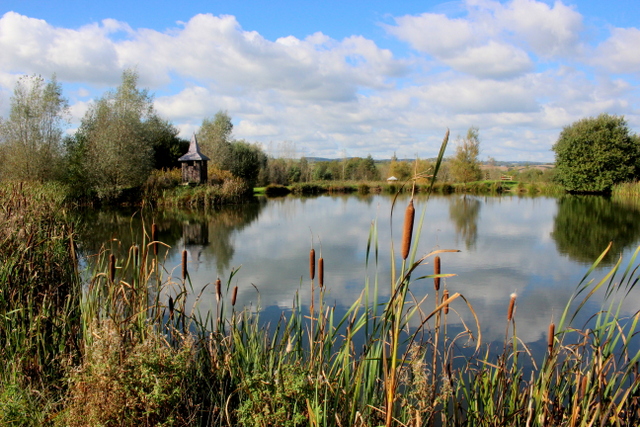
Image: © Nigel Mykura Taken: 7 Oct 2017
This nature reserve was started 17 years ago and it has been expanding gradually over the years by the addition of more ponds. This is one of the last ponds to be built.
Images are licensed for reuse under creativecommons.org/licenses/by-sa/2.0
Image Location
Latitude
50.731727
Longitude
-3.037287