Botany Lane, Lepton
Introduction
The photograph on this page of Botany Lane, Lepton by Humphrey Bolton as part of the Geograph project.
The Geograph project started in 2005 with the aim of publishing, organising and preserving representative images for every square kilometre of Great Britain, Ireland and the Isle of Man.

There are currently over 7.5m images from over 14,400 individuals and you can help contribute to the project by visiting https://www.geograph.org.uk
Botany Lane, Lepton
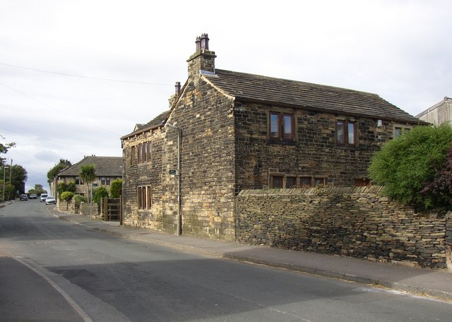
Image: © Humphrey Bolton Taken: 14 Sep 2007
This is near the junction with Knotty Lane, and this area seems to have been the main hamlet of Lepton, as it is called Great Lepton on the 1850 map, and had the most houses. Other hamlets include Lidgate, Little Lepton, Rowley and Bogden (by the Sun Inn).
Images are licensed for reuse under creativecommons.org/licenses/by-sa/2.0
Image Location
Latitude
53.636542
Longitude
-1.698999