Former pub, Ock Street, Abingdon
Introduction
The photograph on this page of Former pub, Ock Street, Abingdon by Christopher Hilton as part of the Geograph project.
The Geograph project started in 2005 with the aim of publishing, organising and preserving representative images for every square kilometre of Great Britain, Ireland and the Isle of Man.

There are currently over 7.5m images from over 14,400 individuals and you can help contribute to the project by visiting https://www.geograph.org.uk
Former pub, Ock Street, Abingdon
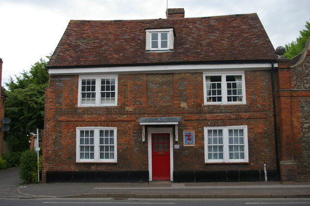
Image: © Christopher Hilton Taken: 28 May 2017
Presumably once The Crown, as the adjacent little housing development is called Crown Mews. The plaque to the right of the door is for Morlands, an Abingdon brewery; similar examples are scattered around the town and surrounding areas. See Image for a close-up of another example. Brewery sites can be seen at Image and Image: the latter details the firm's acquisition by Greene King in 2000 and the closure of brewing operations in Abingdon.
Images are licensed for reuse under creativecommons.org/licenses/by-sa/2.0
Image Location
Latitude
51.669621
Longitude
-1.28881