Monarch's Way on Crock Lane
Introduction
The photograph on this page of Monarch's Way on Crock Lane by Derek Harper as part of the Geograph project.
The Geograph project started in 2005 with the aim of publishing, organising and preserving representative images for every square kilometre of Great Britain, Ireland and the Isle of Man.

There are currently over 7.5m images from over 14,400 individuals and you can help contribute to the project by visiting https://www.geograph.org.uk
Monarch's Way on Crock Lane
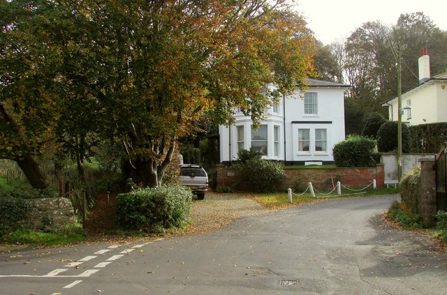
Image: © Derek Harper Taken: 1 Nov 2017
The Monarch's Way uses Lower Walditch Lane on the left and goes around the corner past the houses following Crock Lane towards the Brit valley. The reason for taking the photo was to show the tiny path on the left, guarded by two metal posts, which leads to Walditch Road.
Images are licensed for reuse under creativecommons.org/licenses/by-sa/2.0
Image Location


Leaflet Map data © OpenStreetMap
Latitude
50.732236
Longitude
-2.747528