River Asker
Introduction
The photograph on this page of River Asker by Derek Harper as part of the Geograph project.
The Geograph project started in 2005 with the aim of publishing, organising and preserving representative images for every square kilometre of Great Britain, Ireland and the Isle of Man.

There are currently over 7.5m images from over 14,400 individuals and you can help contribute to the project by visiting https://www.geograph.org.uk
River Asker
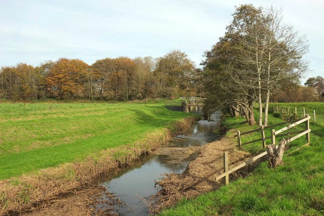
Image: © Derek Harper Taken: 1 Nov 2017
Footpath W1 12 runs beside the river and crosses a footbridge at Jessopps weir seen upstream, just into Image
Images are licensed for reuse under creativecommons.org/licenses/by-sa/2.0
Image Location
Latitude
50.734121
Longitude
-2.748125