Field pond, Sutton parish
Introduction
The photograph on this page of Field pond, Sutton parish by Gordon Hatton as part of the Geograph project.
The Geograph project started in 2005 with the aim of publishing, organising and preserving representative images for every square kilometre of Great Britain, Ireland and the Isle of Man.

There are currently over 7.5m images from over 14,400 individuals and you can help contribute to the project by visiting https://www.geograph.org.uk
Field pond, Sutton parish
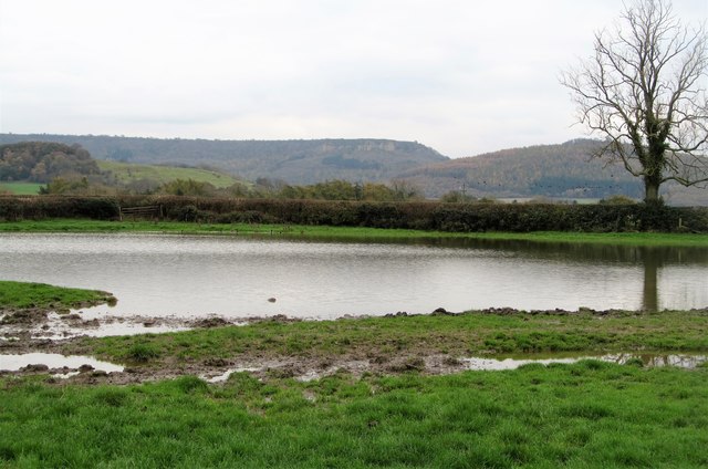
Image: © Gordon Hatton Taken: 3 Nov 2017
The pond appears rather larger than as shown on the OS map, whilst the surrounding pasture, being not much higher than the water level is mostly muddy squelch. The wet and muddy area in the foreground actually proved to be the least worst way round, soft mud lapping over the top of the boots. However, there should be no jumping for joy once the pond edge has been negotiated for the following 300m or so rank somewhere in my 'top five muddiest paths ever'. A route to be avoided except when conditions are Sahara like.
Images are licensed for reuse under creativecommons.org/licenses/by-sa/2.0
Image Location
Latitude
54.242391
Longitude
-1.258514