Track at Cinque Cliff
Introduction
The photograph on this page of Track at Cinque Cliff by Gordon Hatton as part of the Geograph project.
The Geograph project started in 2005 with the aim of publishing, organising and preserving representative images for every square kilometre of Great Britain, Ireland and the Isle of Man.

There are currently over 7.5m images from over 14,400 individuals and you can help contribute to the project by visiting https://www.geograph.org.uk
Track at Cinque Cliff
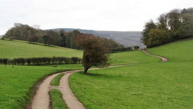
Image: © Gordon Hatton Taken: 3 Nov 2017
A tarmac road runs roughly W-E across farmland at Cinque Cliff. I've never quite worked out the status of this route, but it maybe a byway open to all traffic [BOAT].
Images are licensed for reuse under creativecommons.org/licenses/by-sa/2.0
Image Location


Leaflet Map data © OpenStreetMap
Latitude
54.259569
Longitude
-1.260356